Inventory of Historic Maps of Mississippi,
created 2007-2017,
by Paul Davis
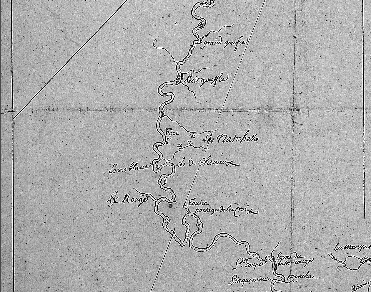
| Title: | Carte du cours de la rivière du Mississipi depuis les Illinois jusqu'à son embouchure. |
| Situation Date: | ca 1720 |
| Features: | Mississippi River, river islands, named geographic features, portage, Indian settlements, fort. |
| Comments: | Title Note: English Translation: [Map of the course of the Mississippi River from Illinois to its mouth; 17 ..], Repository Note: See No.2 at: http://rla.unc.edu/Natchez/#sec_a for Univ. of N.C. reference to the map. Link Note: Link depicts Natchez area only. High resolution scan of entire map not available. |
| Coverage: | Adams County |
| Repository: | Bibliothèque nationale de France, Département des cartes et plans |
| Language: | French |
| Size (inches): | 14.5 X 31.6 |
| Link: | http://rla.unc.edu/Mapfiles/BNF/Anon%201720~.BNF.detail.jpg |