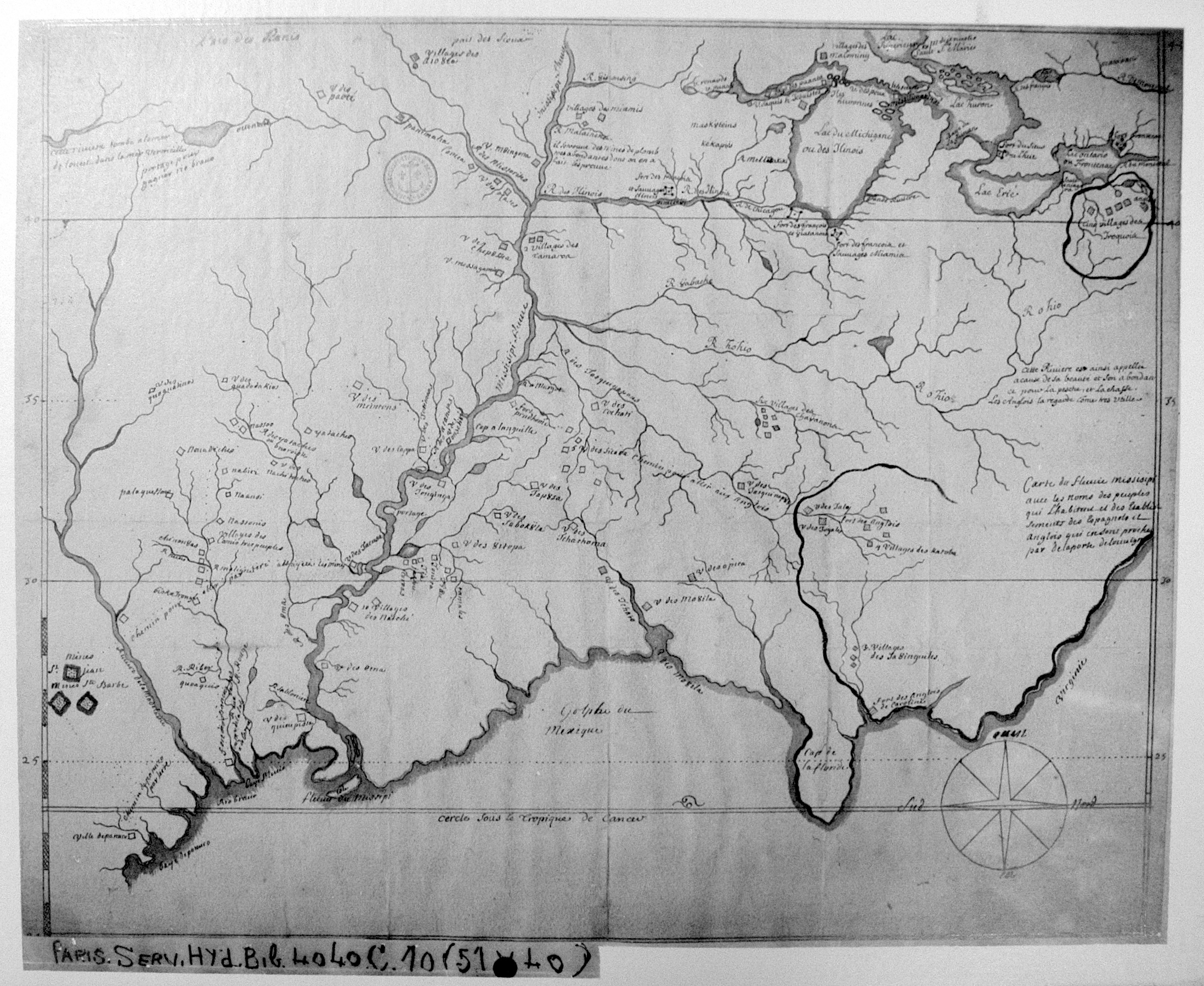
| Title: | Carte du fleuve Missisipi avec les noms des peuples qui l'habitent et des établissements des Espagnols et Anglois qui en sont proches par delaPorte deLouvigny. |
| Author: | Louvigny, Louis de La Porte de |
| Situation Date: | 1697 |
| Type: | Photocopy |
| Features: | Drainage, portages, lakes, Indian settlements, forts. |
| Comments: | Title Note: General Translation-Mississippi River Map with the names of people who live and institutions of the Spanish and English that are close by Delaporte deLouvigny. |
| Coverage: | Eastern U.S. |
| Repository: | Harvard Map Collection |
| Language: | French |
| Link: | http://rla.unc.edu/Mapfiles/HMC3/BSH%20C%204040-10.HMC.3.jpg |