Vicksburg National Military Park Photographs Series 0573
The collection contains 328 items, primarily photographs taken in Vicksburg National Military Park from its inception in 1899 until 1923. The materials, collected and maintained by park commissioner William T. Rigby, document the design and construction of the park and its many monuments to the Confederate and Union units and soldiers who fought there. Included are images of battlefield terrain, sites, roads, bridges, buildings, monuments, memorials, forts, batteries, dedication ceremonies, park commissioners and officials, visiting dignitaries, and veterans attending reunions.
Read MoreThe collection contains 328 items, primarily photographs taken in Vicksburg National Military Park from its inception in 1899 until 1923. The materials, collected and maintained by park commissioner William T. Rigby, document the design and construction of the park and its many monuments to the Confederate and Union units and soldiers who fought there. Included are images of battlefield terrain, sites, roads, bridges, buildings, monuments, memorials, forts, batteries, dedication ceremonies, park commissioners and officials, visiting dignitaries, and veterans attending reunions.
-
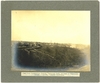
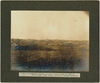
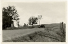
"View from Confederate Avenue, Vicksburg Park, at head of Wisconsin Avenue, --looking towards Vicksburg."
Filename: 573-002-photo.tif
-
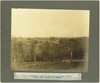
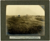
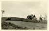
"View on Confederate Avenue at Barstow's (old Newman House)--looking east towards Union Avenue."
Filename: 573-003-photo.tif
-

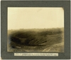
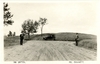
"Deep cut on Confederate Avenue (Jackson road)."
Filename: 573-004-photo.tif
-
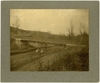
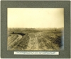
"Bridge on Confederate Avenue Glass Bayou"
Filename: 573-005-photo.tif
-
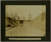
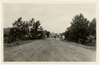
"Confederate Avenue, at junction with Indiana Avenue--looking North."
Filename: 573-006-photo.tif
-
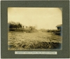
"Confederate Avenue, at junction with the Baldwin's Ferry road."
Filename: 573-008-photo.tif
-
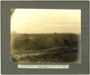
"View at Confederate Railroad Redoubt--looking east towards Peoria Battery."
Filename: 573-010-photo.tif
-
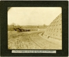
"View on Confederate Avenue, at turn on south side of Glass' Bayou--showing the bridge over that Bayou."
Filename: 573-012-photo.tif
-
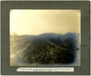
"Confederate work on left of Shoup's Brigade, against which Thayer's Brigade made an approach."
Filename: 573-014-photo.tif
-
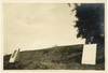
"May 24" "View from road to top of site."
Filename: 573-015-photo.tif
-
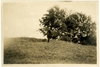
"May 24 10" "View at top of site"
Filename: 573-016-photo.tif
-
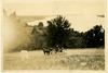
"May 24 10" "View from top of site to road also Mississippi river in distance"
Filename: 573-017-photo.tif
-
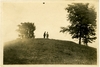
"May 24 10" "View from road to top of site."
Filename: 573-018-photo.tif
-
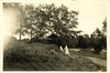
"May 24 10" "View from top of site to road."
Filename: 573-020-photo.tif
-
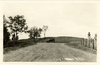
"Clay St Arch" "This photo taken from the centre of Clay St. 100 ft from front line of proposed arch"
Filename: 573-021-photo.tif
-
Page 1 of 22-page booklet containing views of Vicksburg battlefield terrain, buildings, and sites.
Filename: 573-024-01-photo.tif
-
Page 2 of 22-page booklet containing views of Vicksburg battlefield terrain, buildings, and sites. "Fort Nogales"
Filename: 573-024-02-photo.tif
-
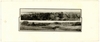
Page 3 of 22-page booklet containing views of Vicksburg battlefield terrain, buildings, and sites.
Filename: 573-024-03-photo.tif
-
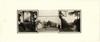
Page 4 of 22-page booklet containing views of Vicksburg battlefield terrain, buildings, and sites.
Filename: 573-024-04-photo.tif
-
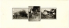
Page 5 of 22-page booklet containing views of Vicksburg battlefield terrain, buildings, and sites.
Filename: 573-024-05-photo.tif
-
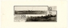
Page 6 of 22-page booklet containing views of Vicksburg battlefield terrain, buildings, and sites.
Filename: 573-024-06-photo.tif
-
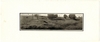
Page 7 of 22-page booklet containing views of Vicksburg battlefield terrain, buildings, and sites.
Filename: 573-024-07-photo.tif
-
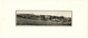
Page 8 of 22-page booklet containing views of Vicksburg battlefield terrain, buildings, and sites.
Filename: 573-024-08-photo.tif
-
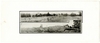
Page 9 of 22-page booklet containing views of Vicksburg battlefield terrain, buildings, and sites.
Filename: 573-024-09-photo.tif