Historical Maps
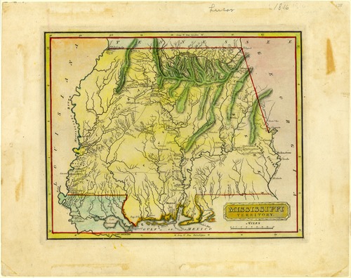
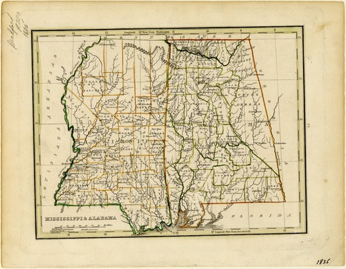
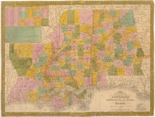
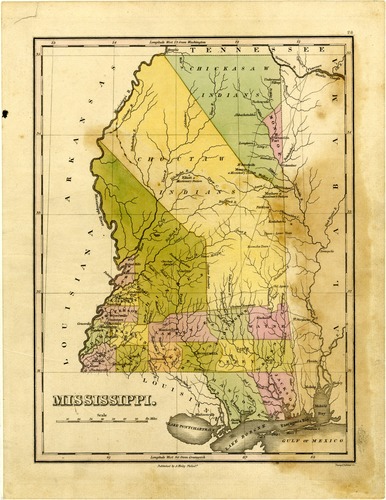
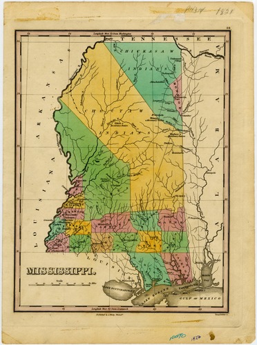
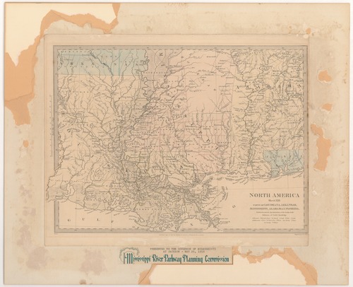
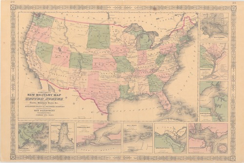
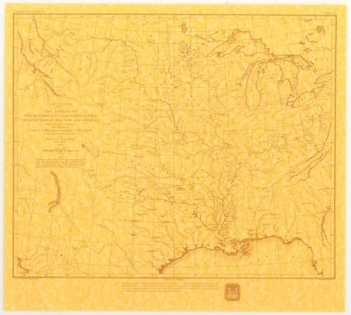
The Mississippi Department of Archives and History has cataloged over 2,500 maps in its "published information" collection. They include hand-drawn sketches of towns, localities, plantations, and battlefields, as well as published maps from the sixteenth through twenty-first centuries.
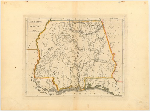
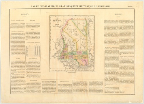
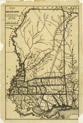
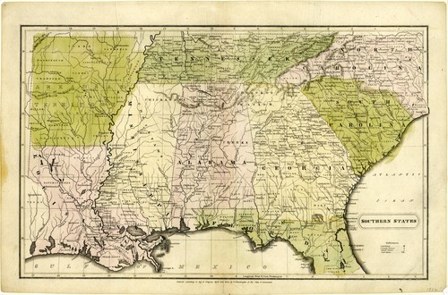
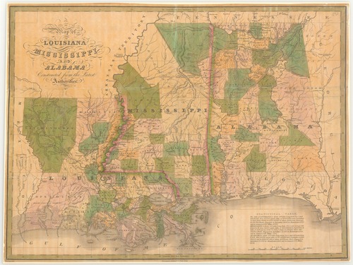
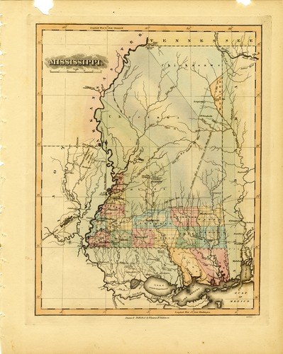
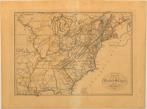
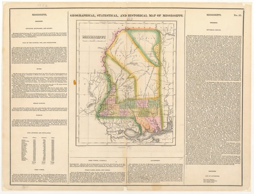
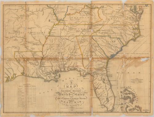
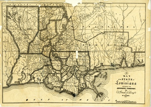
MDAH staff digitized over 600 paper maps for this online exhibit. The earliest is a triptych printed by the famous Dutch cartographer Abraham Ortelius in 1588, including La Florida, drawn by Geronimo Chaves. In his book The Southeast in Early Maps, William P. Cumming called La Florida "one of the half-dozen most important mother maps of southeastern North America." Several maps in the exhibit trace the history of Mississippi from early exploration through colonial expansion, the territorial period, and statehood. Others are hand-drawn plans and plats of towns, such as P. A. Van Dorn's original plan for the city of Jackson in 1822.
Many maps can also be found in other MDAH collections, such as government records and personal papers. One such example is included in this exhibit, the colorful map of the town of Washington, Mississippi, hand drawn by B. L. C. Wailes in the town's 1838 Minute Book. Maps that other state government agencies (especially the Mississippi Department of Transportation) have scanned to document work projects and then transferred to MDAH are not included here but can be accessed with other electronic government records.
Read MoreThe Mississippi Department of Archives and History has cataloged over 2,500 maps in its "published information" collection. They include hand-drawn sketches of towns, localities, plantations, and battlefields, as well as published maps from the sixteenth through twenty-first centuries.
MDAH staff digitized over 600 paper maps for this online exhibit. The earliest is a triptych printed by the famous Dutch cartographer Abraham Ortelius in 1588, including La Florida, drawn by Geronimo Chaves. In his book The Southeast in Early Maps, William P. Cumming called La Florida "one of the half-dozen most important mother maps of southeastern North America." Several maps in the exhibit trace the history of Mississippi from early exploration through colonial expansion, the territorial period, and statehood. Others are hand-drawn plans and plats of towns, such as P. A. Van Dorn's original plan for the city of Jackson in 1822.
Many maps can also be found in other MDAH collections, such as government records and personal papers. One such example is included in this exhibit, the colorful map of the town of Washington, Mississippi, hand drawn by B. L. C. Wailes in the town's 1838 Minute Book. Maps that other state government agencies (especially the Mississippi Department of Transportation) have scanned to document work projects and then transferred to MDAH are not included here but can be accessed with other electronic government records.
-
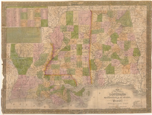
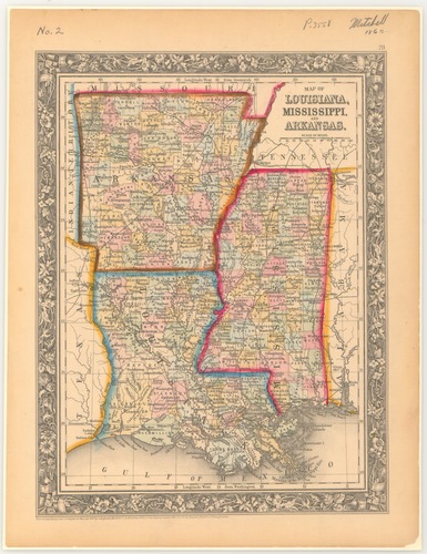
Map of Louisiana, Mississippi, and Arkansas / S. Augustus Mitchell.
Date: 1860
Creator: Mitchell, S. Augustus (Samuel Augustus)
Filename: 8127-map-01.tif
-
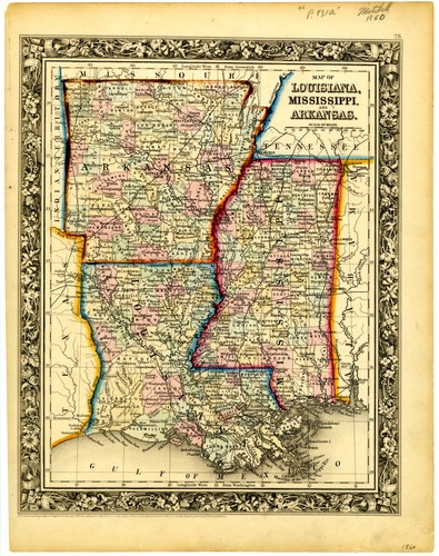
Map of Louisiana, Mississippi, and Arkansas / S. Augustus Mitchell.
Date: 1860
Creator: Mitchell, S. Augustus (Samuel Augustus)
Filename: 8128-map.tif
-
Map of Louisiana, Mississippi, and Arkansas / S. Augustus Mitchell.
Date: 1860
Creator: Mitchell, S. Augustus (Samuel Augustus)
Filename: 8129-map-01.tif
-
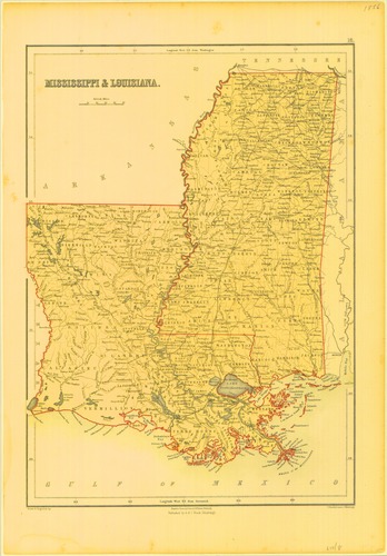
Johnson's Arkansas, Mississippi and Louisiana / by Johnson & Browning. From Johnson's Family World Atlas, version 2.
Date: 1860
Filename: 8130-01-c2-map.tif
-
Johnson's Arkansas, Mississippi and Louisiana / by Johnson and Ward. From Johnson's Family World Atlas, version 3.
Date: 1862
Filename: 8131-1-map.tif
-
Map of routes for a Pacific railroad : compiled to accompany the report of the Hon. Jefferson Davis, Sec. of War / G. K. Warren, H. Top. engrs.
Date: 1975
Creator: Warren, Gouverneur Kemble
Filename: 8134-map-01.tif
-
Mississippi, Louisiana & Arkansas.
Date: 1858
Creator: Colton, J.H. (Joseph Hutchins)
Filename: 8135-01-map.tif
-
Mississippi / Century Company. Appears in: The Century Atlas, no.43.1897.
Date: 1897
Creator: Century Company
Filename: 8137-map.tif
-
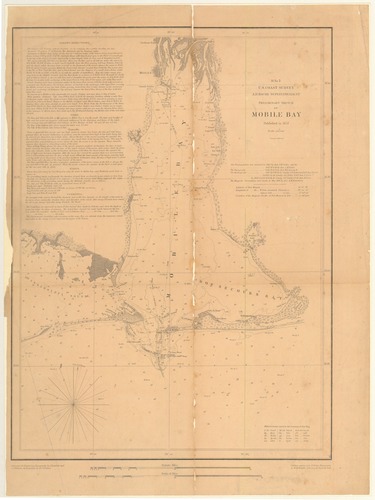
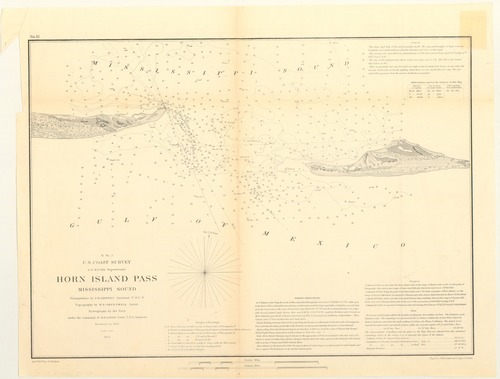
Horn Island Pass, Mississippi Sound. H no. 4.
Date: 1853
Creator: United States Coast Survey
Filename: 8139-01-map.tif
-
Entrance to Pascagoula River, Mississippi / by the hydrographic party under the command of Lieut. B.F. Sands, U.S.N. Asst.
Date: 1853
Creator: United States Coast Survey
Filename: 8140-1-map.tif
-
Mississippi City Harbor, Mississippi / From a Trigonometrical survey under the direction of A. D. Bache, superintendent of the survey of the Coast of the United States.
Date: 1857
Creator: United States Coast Survey
Filename: 8144-1-map.tif
-
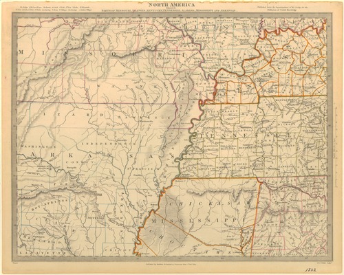
Die Staaten von Arkansas, Mississippi, Louisiana, & Alabama. Meyers-Zeitungs Atlas, no. 67.
Date: 1850
Filename: 8145-01-map.tif
-
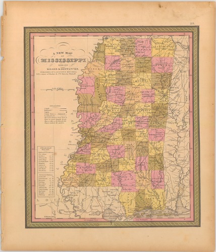
A new map of Mississippi with its roads and distances.
Date: 1850
Creator: Mitchell, S. Augustus (Samuel Augustus)
Filename: 8146-map-01.tif
-
A new map of Mississippi with its roads and distances.
Date: 1850
Creator: Thomas, Cowperthwait & Co.
Filename: 8147-c2-map.tif
-
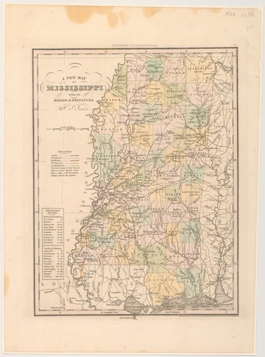
A new map of Mississippi with its roads & distances / by H.S. Tanner.
Date: 1842
Creator: Tanner, Henry Schenck
Filename: 8149-1-map.tif
-
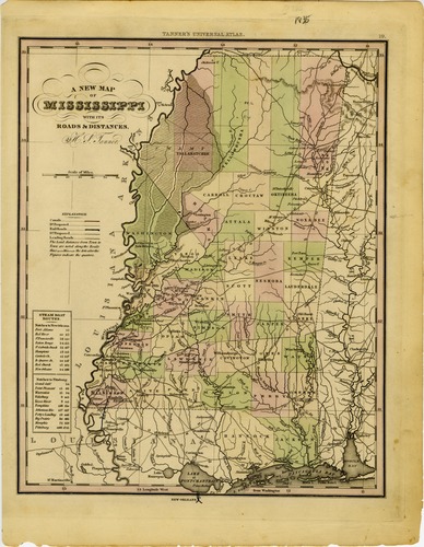
A new map of Mississippi with its roads & distances / by H.S. Tanner. Tanner's Universal Atlas, 23.
Date: 1836
Creator: Tanner, Henry Schenck
Filename: 8150-map-01.tif
-
Map of the lands in Mississippi ceded by the Chickasaws to the United States in 1832 and 1834. From actual survey by Henry M. Lusher, draughtsman in the Office of the Surveyor Genl. of lands in Missis...
Date: 1835
Creator: Lusher, Henry M.
Filename: 8152-1-map.tif
-
Map of the lands in Mississippi ceded by the Chickasaws to the United States in 1832 and 1834. From actual survey by Henry M. Lusher, draughtsman in the Office of the Surveyor Genl. of lands in Missis...
Date: 1835
Creator: Lusher, Henry M.
Filename: 8152-map-01-c2.tif
-
Military map showing the marches of the United States forces under command of Maj. Genl. W. T. Sherman, U.S.A. during the years 1863, 1864, 1865 / compiled by order of Genl. W. T. Sherman ; under the...
Date: 1865
Creator: Kossak, William
Filename: 8153-map-01.tif
-
Antietam Battlefield: Preliminary map no. 3 / Jed Hotehkiss [sic].
Date: 1895
Creator: Hotchkiss, Jedediah
Filename: 8155-map-01.tif
-
Colton's Mississippi / published by J. H. Colton.
Date: 1863
Creator: Colton, J. H. (Joseph Hutchins)
Filename: 8156-01-map.tif
-
Approaches to Grand Gulf / From a Topographical & Hydrographical survey by F.H. Gerdes, Assistant, assigned by A.D. Bache Supdt. U.S. Coast Survey to act under orders of Rear Admiral D.D. Porter U.S....
Date: 1962
Creator: Gerdes, F. H.
Filename: 8159-map-01.tif
-
Survey of the approaches to Fort Hindman, Arkansas Post, captured by the U.S. Mississippi Squadron, January 11th 1863 : showing the position of the gunboats during the attack / Executed January 12th,...
Date: 1962
Creator: Fendell, Clarence
Filename: 8163-map-01.tif
-
Map of the country between Monterey, Tenn. & Corinth, Miss. : showing the lines of entrenchments made & the routes followed by the U.S. Forces under the Command of Maj. Genl. Halleck, U.S. Army, in th...
Date: 1862
Creator: Thom, George
Filename: 8167-01-map.tif
-
Map of the canals & railroads of the United States : reduced from the large map of the U.S. / by H.S. Tanner. From the author's A brief description of the canals and railroads of the United States. 18...
Date: 1840
Creator: Tanner, Henry Schenck
Filename: 8169-map.tif
-
Johnson's Arkansas, Mississippi and Louisiana / by Johnson and Ward.
Date: 1863
Filename: 8170-01-map.tif
-
Plan of the battle of Buena-Vista : fought February 22nd and 23rd, 1847 / Surveyed by Capt. Linnard & Lieuts. Pope & Franklin, Corps T. Engrs. ; drawn by Capt. T.B. Linnard, Corps of T.E.
Date: 1847
Creator: Linnard, T. B.
Filename: 8171-01-map.tif
-
Map of the chief part of the southern states and part of the Western / engraved to illustrate Mitchell's school and family geography.
Date: 1858
Creator: Mitchell, S. Augustus (Samuel Augustus)
Filename: 8172-1-map.tif
-
Louisiana and Mississippi / by H. S. Tanner. Appears in Tanner's New American Atlas.
Date: 1820
Creator: Tanner, Henry Schenck
Filename: 8174-01-map.tif
-
Mississippi / by Sidney E. Morse and Samuel Breese. Appears in Morse's North American Atlas, 1842.
Date: 1842
Creator: Morse, Sidney E. (Sidney Edwards)
Filename: 8176-01-map.tif
-
Mississippi / by Sidney E. Morse and Samuel Breese. Appears in Morse's North American Atlas, 1842.
Date: 1842
Creator: Morse, Sidney E. (Sidney Edwards)
Filename: 8177-1-map.tif
-
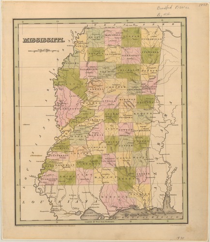
Mississippi /c by Thomas Bradford.
Date: 1836
Creator: Bradford, T. G. (Thomas Gamaliel)
Filename: 8179-01-map.tif